
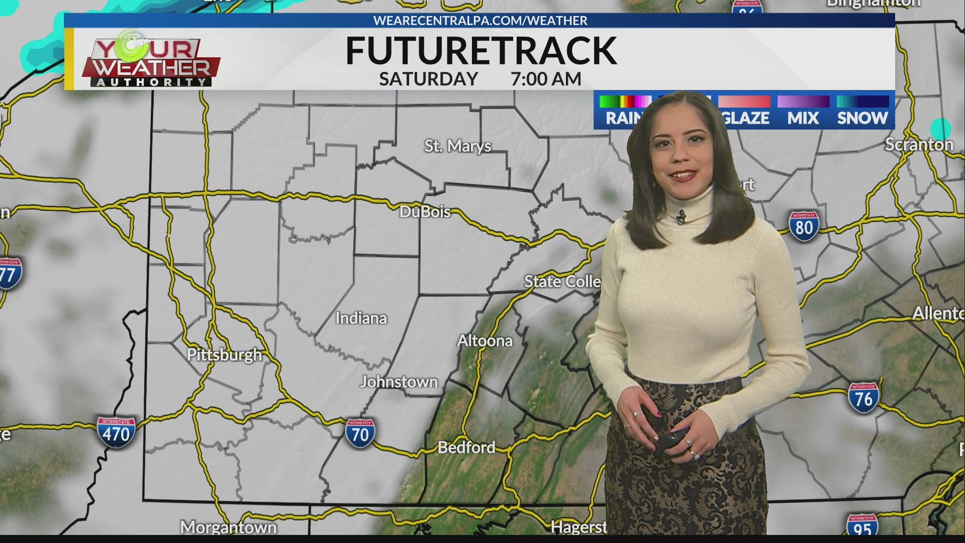
With frigid temperatures, it will be a cold start to Saturday. It will be better to sleep in and stay warm under those covers. It will be best to get some errands down later in the day when it’s not as cold and icy. Clouds will give way to some sunshine later in the day. Unfortunately, it will still be rather cold with highs only reaching into the 20s. Wind chills will be in the teens.
Fortunately, the region will get back to normal Sunday. Highs will reach into the 30s and it will be a quiet end to the weekend. Periods of clouds and sun will cycle through and then lows will dip into the 20s overnight. The region will even continue to enjoy some warmth into the new week.
It will be mostly cloudy Monday with highs breaking 40 degrees. Unfortunately, a mix of rain and snow showers will develop and push into the region. Then there will be a big difference Tuesday. Highs will only reach into the 20s leftover snow showers or a few flurries. Otherwise, there will be a mix of clouds and some sun.
The majority of Wednesday will be dry with highs in the 30s and a mix of clouds and an occasional peek of sunshine. However, the next system will be pushing in. By Thursday rain showers will overtake the region and some flurries will mix in late. Highs will be in the upper 30s. A lingering snow shower will be possible Friday otherwise, it’ll be mostly cloudy with highs in the low 30s.